When a disaster strikes, will you be ready?
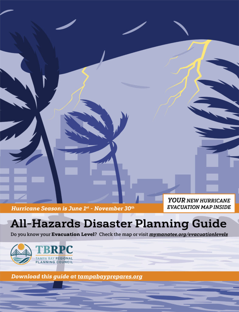
TBRPC’s All-Hazards Disaster Planning Guide provides preparedness information for hazards including hurricanes, floods, tornadoes, hazardous materials incidents, and pandemic disease. The guide includes hurricane evacuation maps for participating coastal counties in the Tampa Bay area.
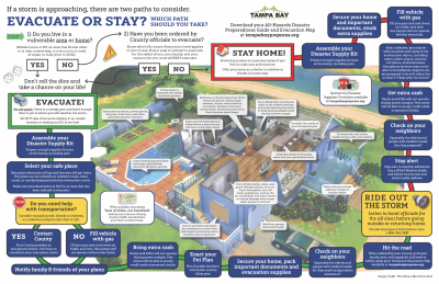
When necessary, each county’s Emergency Management office will recommend a hurricane evacuation by Level (A, B, C, D, or E) as shown on the color-coded hurricane evacuation map. The maps also show the location of routes and shelters/evacuation centers.
Printed copies of the All-Hazards Disaster Planning Guides are available throughout the region in participating counties. For a list of pick-up locations, or if you need assistance in locating your zone, evacuation route, or evacuation shelter, please contact your county’s Emergency Management office.
2024 Hurricane Season
Looking for a different County?
For information about Hillsborough, Pasco, and Pinellas County guides, contact:
Do you know your Evacuation Level?
Search for your home or business in the map below.